You ever try to survey a hundred acres of mud, brush, or busted-up terrain by foot? Yeah, me neither. But I’ve watched crews do it. Slow, expensive, and honestly kinda dangerous. That’s where drone mapping steps in. It’s not some sci-fi gimmick anymore. These little flying computers are changing how we measure, plan, and protect land. And the best part? You don’t need a PhD to understand the output. Just a willingness to stop doing things the hard way.
What the Heck Are Drone Mapping Services Anyway?
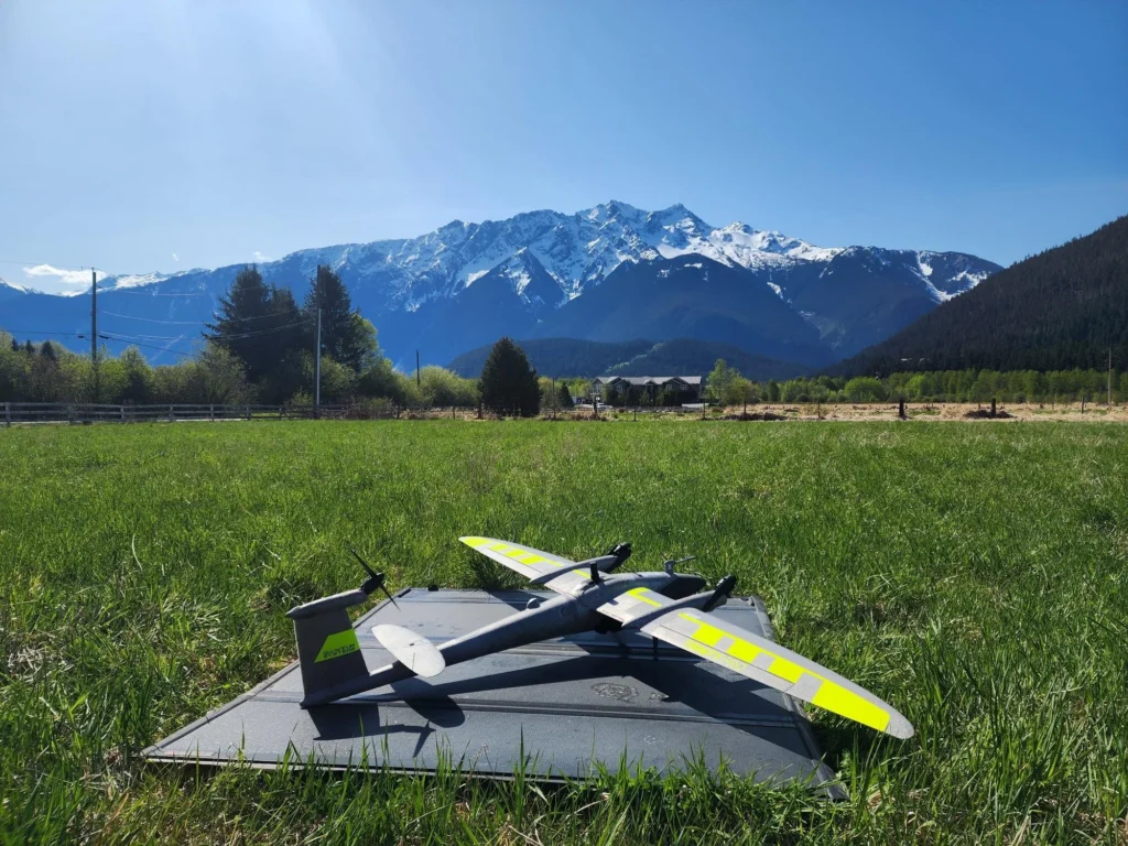
Let’s keep this simple. Drone mapping services send a small aircraft up there – think quadcopter or fixed-wing like Wingtra drones – and it snaps hundreds of overlapping photos. Software stitches those into orthomosaic maps, 3D models, or elevation data. Sounds fancy, but really it’s just a faster tape measure. A damn accurate one too. You get centimeter-level precision without breaking your back. Construction firms use it for stockpile volumes. Farmers for crop health. Even cops with public safety drones to map accident scenes. Less chalk outlines, more digital evidence.
Why I Dumped Traditional Surveying for Aerial Mapping
Look, I’m not saying old-school methods are useless. But they’re slow. Real slow. One crew on the ground might cover ten acres a day if conditions are perfect. Aerial mapping? Same area in fifteen minutes. Plus you’re not dodging poison ivy or angry landowners. The data’s cleaner too. You know that gut feeling when a hand-drawn map feels off? Drone mapping removes the guesswork. You get a georeferenced file that drops right into your GIS or CAD software. No redos because someone misread a number in the rain.
Wingtra Drones vs Skydio Mapping Drones: Pick Your Fighter
Not all drones are built the same. Wingtra drones are fixed-wing hybrids. They launch vertical like a helicopter, then flip to plane mode. Great for covering hundreds of acres in one battery. But they cost as much as a used sedan. On the flip side, Skydio mapping drones are the ninjas of obstacle avoidance. They weave through trees, under bridges, around power lines like they’re playing tag. Perfect for tight sites – quarries, construction zones, bridge inspections. Me? I tell clients to match the tool to the mess. Big open land? Wingtra. Cluttered disaster zone? Skydio. Both beat walking.
Public Safety Drones Aren’t Just for TV Dramas
Here’s something that doesn’t get enough attention. Public safety drones are saving lives right now. Not someday. Right now. Fire departments use them to map wildfire perimeters. Cops fly them over crash scenes before traffic backs up for three miles. Search and rescue teams cover ravines that would take dogs two hours to sniff. The key is speed. You launch, you map, you share. No more drawing on napkins while victims wait. I’ve seen a drone mapping flight find a missing hiker in eighteen minutes. The ground team had been looking for six hours. That’s not tech hype. That’s results.
Security Drones Are the Silent Guards You Didn’t Know You Needed
People think security means cameras on poles. Boring. Easy to avoid. Security drones change the game because they move. You program a patrol route – say every two hours around a solar farm or data center – and the drone goes. It maps the perimeter, spots intruders, even checks fence breaches. And because it’s drone mapping, you get a time-stamped record of everything. Did that gate get left open at 2 AM? The map shows it. Did someone cut a hole in the fence? The model catches it. It’s not about spying. It’s about knowing what normal looks like so abnormal jumps out.
The Ugly Truth: Most People Buy the Wrong Drone Mapping Setup
I see it all the time. Someone drops ten grand on a shiny drone, flies it twice, then shoves it in a closet. Why? Because they didn’t think about the software, the training, or the fact that you need a Part 107 license to fly commercially. Drone mapping services aren’t just the hardware. They’re the whole pipeline. Fly, process, analyze, act. If you skip any step, you just have an expensive toy. My advice? Rent or hire a service first. See if the data actually helps your workflow. Then buy. Don’t be the guy with a Wingtra drone collecting dust because nobody knew how to stitch the images.
Stop Overthinking and Start Mapping Already
Here’s the bottom line. You can keep doing things the old way – paper maps, sore legs, arguments about property lines. Or you can spend a few hundred bucks on drone mapping, get better data in less time, and go home before lunch. The technology isn’t waiting. Contractors using aerial mapping are winning bids. Farmers using drone mapping are saving water. Cops using public safety drones are closing cases faster. You don’t need to be a tech wizard. You just need to start. Pick one project, call a service, and see the difference. Because honestly? The ground is for parking trucks. The real view is up there.