When dealing with property matters, paperwork is just as important as the land itself. Behind every property transaction is a set of documents that clearly explain what is being bought, sold, leased, or registered. Among these documents, plans play a vital role because they visually show boundaries and the exact location of land or property.
A small error on a plan can cause delays, extra costs, or even legal disputes later on. Many people assume that submitting Land Registry compliant plans is a simple task. However, it requires accuracy, clarity, and a good understanding of official requirements. If you overlook even minor details, your application can be rejected.
In this article, we will help you avoid unnecessary stress and repeated submissions by explaining the common mistakes to avoid when submitting plans. Let’s go through them without any ado.
Using Plans That Are Not Drawn to Scale
One of the most common mistakes you can make is submitting a plan that is not drawn to scale. The Land Registry requires plans to be clear and accurate so that boundaries and features can be properly understood. When a plan is not to scale, it becomes difficult to measure distances or understand the true size and shape of the land.
It can raise doubts about accuracy and often leads to rejection. You may think that a rough sketch or resized image is acceptable. However, a plan must reflect real measurements consistently. If parts of the plan appear stretched or compressed, it creates confusion. To avoid this issue, you should always ensure the plan is prepared using correct scaling methods.
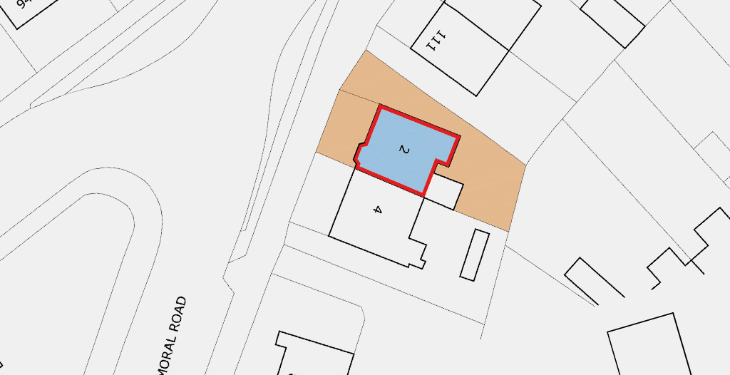
Failing to Show Boundaries Clearly
Another major mistake is not clearly defining the property boundaries on the plan. Boundaries are the most important element for the Land Registry because they show exactly what land is included in the application. If boundaries are unclear, missing, or shown with thin lines, it becomes difficult to understand what you are registering.
You may assume that fences, walls, or natural features are obvious. However, the registry needs boundaries to be clearly marked. If neighbouring land is not clearly separated, it can lead to disputes or further questions. Make sure the land being registered stands out clearly from the surrounding areas.
Not Including Sufficient Detail
Submitting plans that lack enough details is a common error. Though keeping plans simple is important, it must still explain everything clearly. Leaving out key information can cause problems. The Land Registry expects certain features, such as buildings, access routes, roads, rights of way, and shared areas, to be clearly shown on the plan.
If your plan only shows a basic outline without context, it may not provide enough information for proper registration. You should make sure that nearby landmarks, adjoining properties, and important features are visible and labelled. It helps the relevant department understand the location and layout of the land in relation to its surroundings.
Using Poor Quality Images
Submitting low-quality or unclear plans often leads to rejection. If your plan is blurry or difficult to read, it cannot be properly assessed. It happens when plans are scanned poorly, printed and re-scanned, or saved in low resolution. You may be able to understand the plan yourself. However, the Land Registry needs clean images.
Faded text, uneven lines, or smudged markings can cause issues. Therefore, you should always check the quality of your plan before submission. Clear and sharp visuals help avoid misunderstandings and ensure that the plan meets official standards.
Ignoring Orientation
Another mistake that many people overlook is failing to show the correct orientation of the land. Land Registry compliant plans must clearly indicate which direction is north. Without a north point, it becomes harder to understand the plan’s alignment with real-world locations.
You may assume orientation is obvious, especially if roads or buildings are shown. However, it is not enough for the registry. You need to submit plans with a clear north arrow to ensure consistency and accuracy. Therefore, you should always double double-check that your plan includes a clearly marked north point. It adds clarity and helps the plan meet official standards.
Trying to Handle Everything on Your Own
One of the biggest mistakes you can make is trying to handle everything on your own without professional help. It often leads to errors, delays, and repeated submissions. Therefore, you must hire experienced professionals to help you.
You can rely on Bidston Draughting LTD to draw plans accurately. It has a team of skilled professionals to prepare and submit plans on your behalf. The use of 3D laser scanning and drone surveying to capture all features of your land and show them on the plan.
Final Thoughts
Submitting Land Registry compliant plans is not just about drawing lines on paper. It requires clarity, accuracy, and attention to detail at every stage. By avoiding the aforementioned common mistakes, you can experience a smooth and successful application.